Contact us today and receive a customized quote for your specific 3D surveying needs. Maximize the efficiency and accuracy of your project with our solutions!
Our Service Process
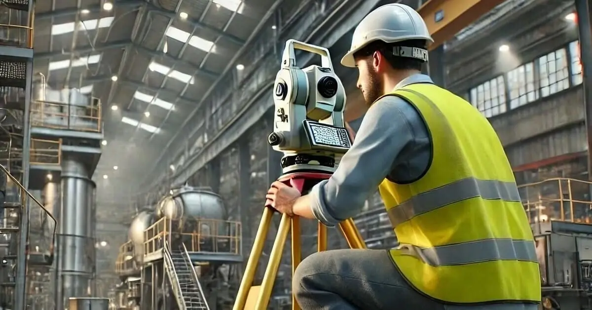
Levantamientos Topográficos
Realizamos levantamientos topográficos detallados utilizando estaciones topograficas, capturando puntos con precisión milimétrica. Generamos modelos digitales del terreno (MDT), planos topográficos, perfiles longitudinales y transversales, curvas de nivel y más, proporcionando información esencial para la planificación y diseño de proyectos.
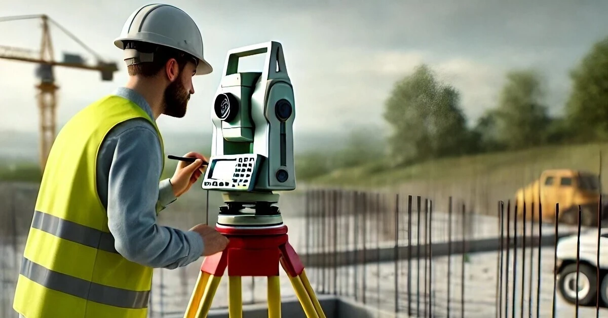
Topographic Stakeout
Our topographic stakeout services transfer to the ground the dimensions and locations planned in the construction and engineering project plans. We guarantee the correct execution of designs and the optimization of resources.
Detailed Topographical Surveys
We conduct comprehensive topographic surveys to identify area characteristics and constraints, including slopes, elevations, flood zones, risk zones and other relevant factors. This information is critical for informed decision making in construction, engineering, agriculture, mining and urban planning projects.
Benefits of our 3D Surveying Services
Accuracy and Quality
We guarantee the highest accuracy and quality in all our measurements and topographic maps thanks to our state-of-the-art technology and the experience of our team.
Effective Planning
We provide detailed and reliable information that enables informed planning and decision making for projects in a variety of industries.
Resource Optimization
Nuestros servicios de topografía ayudan a optimizar los recursos y minimizar los costos en proyectos de construcción y movimiento de tierras.
Safety and Prevention
Identificamos zonas de riesgo y realizamos monitoreo de movimientos del terreno para garantizar la seguridad de proyectos y prevenir errores.
Get a customized quote for your project!
Additional 3D Surveying Services

Aerial Photogrammetry with Drones
We capture high-resolution aerial imagery using drones to generate orthophotos, 3D models and point clouds of the terrain. This data is useful for topographic analysis, urban planning, environmental studies and more.

3D Laser Scanning
We perform high-precision 3D laser scanning of buildings, structures and complex terrain, generating detailed models for architectural, engineering and heritage projects.

Earthwork Measurements
We calculate excavation and backfill volumes to optimize construction and earthwork costs.

Earth Movement Monitoring
We implement monitoring systems to detect and prevent landslides, subsidence and other ground movements that may affect the safety of projects.
3D Surveying Applications in Various Industries
3D surveying is a versatile tool with applications in a wide range of sectors. At RealtoDigital, we adapt our services to the specific needs of each industry, providing accurate and efficient solutions for:

Construction and Engineering
Design and planning of civil works, earthworks, construction quality control, construction progress monitoring.
Urban Planning
Smart city design, urban mobility analysis, infrastructure planning, public space management.
Architecture
3D modeling of buildings, facade surveys, historical heritage documentation, interior design.
Mining
Reservoir estimation, reserve calculation, mining design, slope monitoring and ground stability.
Why Choose RealtoDigital?
-

Cutting-edge technology
We use state-of-the-art surveying equipment.
-

Experience and Professionalism
We have a highly qualified team.
-

Accuracy and Reliability
We guarantee accurate and reliable results.
-

Data processing
We generate detailed 3D models and perform comprehensive analysis.
-

Customized Solutions
We adapt our services to your needs.

Contact us!
Let us be your strategic partner in 3D surveying! Request a personalized quote and discover how we can help you achieve success in your projects.